
Imagery © Esri, Maxar, Earthstar Geographics · Terrain © Mapzen, AWS
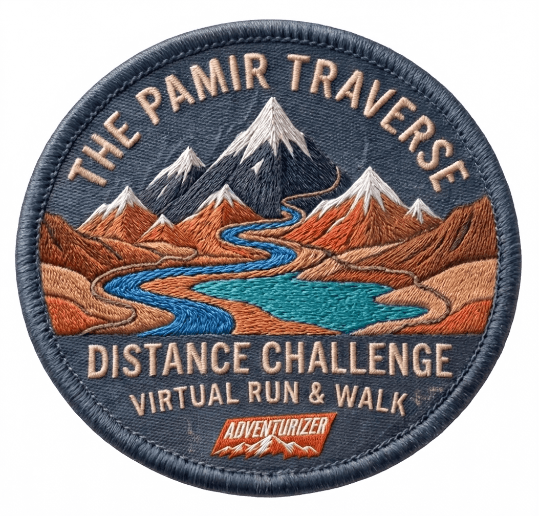
Virtual challenge · November 1–30, 2026
Trek 280K across the Pamir Mountains
Walk or run wherever you are — every run and walk you log moves you along the real route through Tajikistan's Pamirs.
Registration open
How it works
1Walk or Run
Every mile counts — walk or run your way across the Pamirs using training you're already doing.
2Log Your Activity
Import your runs and walks from Strava in a couple of taps, or log them by hand — either way they roll straight into your route distance.
3Track Your Progress
Watch your avatar move across the real Pamir Traverse route on the map as your logged distance adds up.
About the route
Valley floor to the roof of the world
From Rushon up the remote Bartang Valley, over the Savnob and Kok Jar passes, and onto the high plateau to finish beside Karakul Lake on the Pamir Highway — nearly two kilometres higher than where you started.
- Point to point
- 280km
- Total climb
- 3,509m
- High point
- 4,049m
- To finish
- 30days
Leg 1 · km 0–40
Rushon → Siponj
Depart Rushon and follow the Bartang River upstream through Emts and Khijez.
- Distance
- 40 km
- Climb
- 327 m
- High point
- 2,207 m
Leg 2 · km 40–80
Siponj → Basid
Pass through Siponj and keep following the Bartang upstream.
- Distance
- 40 km
- Climb
- 361 m
- High point
- 2,362 m
Leg 3 · km 80–120
Basid → Savnob Pass
Continue up the Bartang Valley past Chadud and Yapshorv.
- Distance
- 40 km
- Climb
- 534 m
- High point
- 2,742 m
Leg 4 · km 120–150Steepest
Savnob Pass → Gudara
Climb over Savnob Pass and leave the Bartang Valley.
- Distance
- 30 km
- Climb
- 708 m
- High point
- 3,079 m
Leg 5 · km 150–190
Gudara → Kok Jar Pass
Push on from Gudara over the high ground toward Kok Jar Pass.
- Distance
- 40 km
- Climb
- 718 m
- High point
- 3,559 m
Leg 6 · km 190–280
Kok Jar Pass → Karakul Lake
Ascend the Kok Jar Pass to the high plateau, then finish on the Pamir Highway by Karakul Lake.
- Distance
- 90 km
- Climb
- 853 m
- High point
- 4,049 m
Grade-adjusted distance
Feel the incline
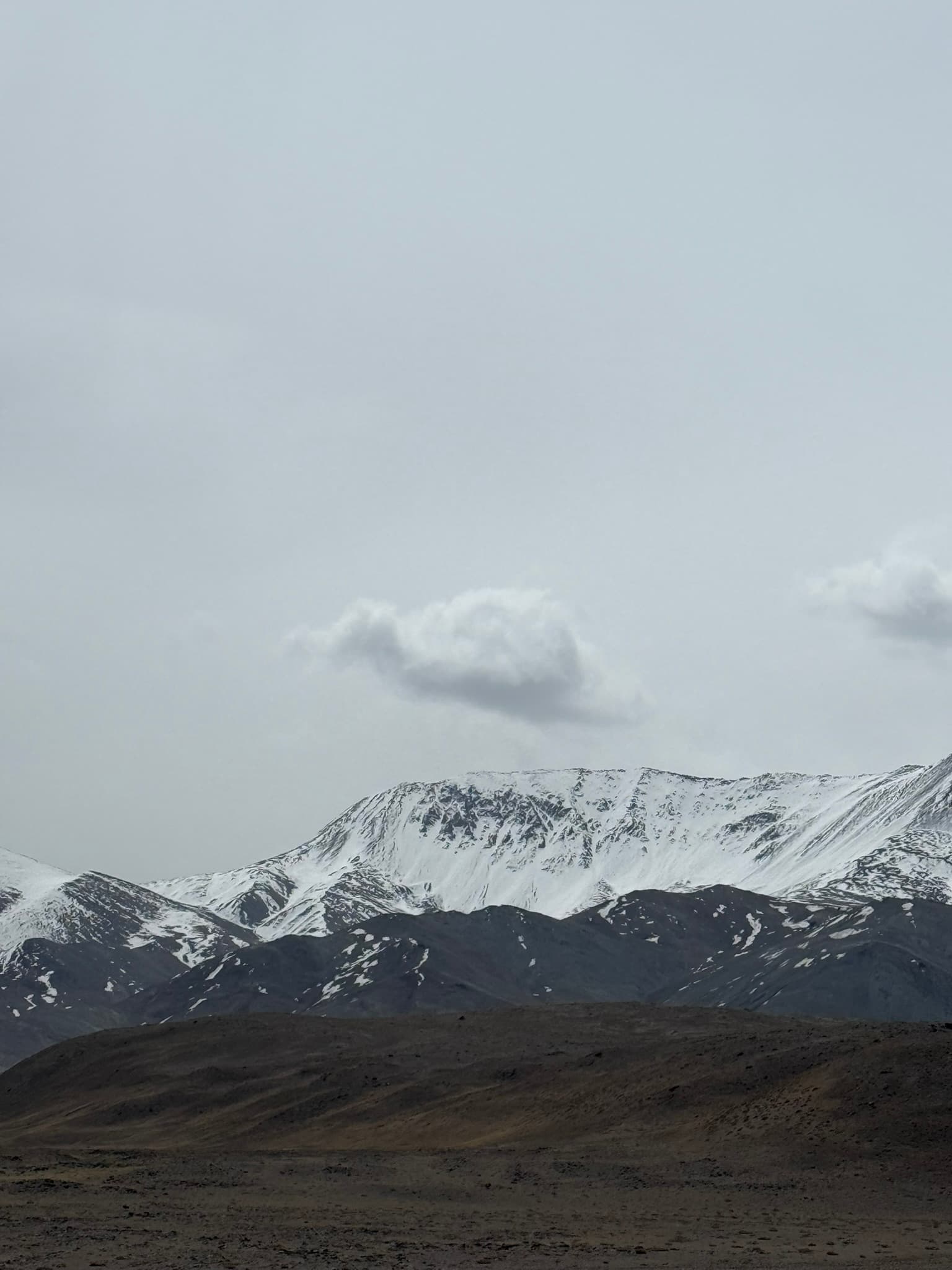
A mile on flat ground is different than a mile on a steep mountain trail. As you progress and log your activities, we translate your effort to the Pamir terrain to show how far you'd go on the trail with the same effort.
Ready to cross the Pamirs?
280 km · November 1–30, 2026 · free to join
Already registered?